
Rainy Weather Returns to the Bay Area on Tuesday
The National Weather Service says the Bay Area will start Tuesday with mostly sunny conditions before rain moves in later in the day. High temperatures are expected to reach the low to mid-60s along the coast, with upper 50s to low 60s around the bay and inland areas. Overnight lows will range from the mid-40s to low 50s.
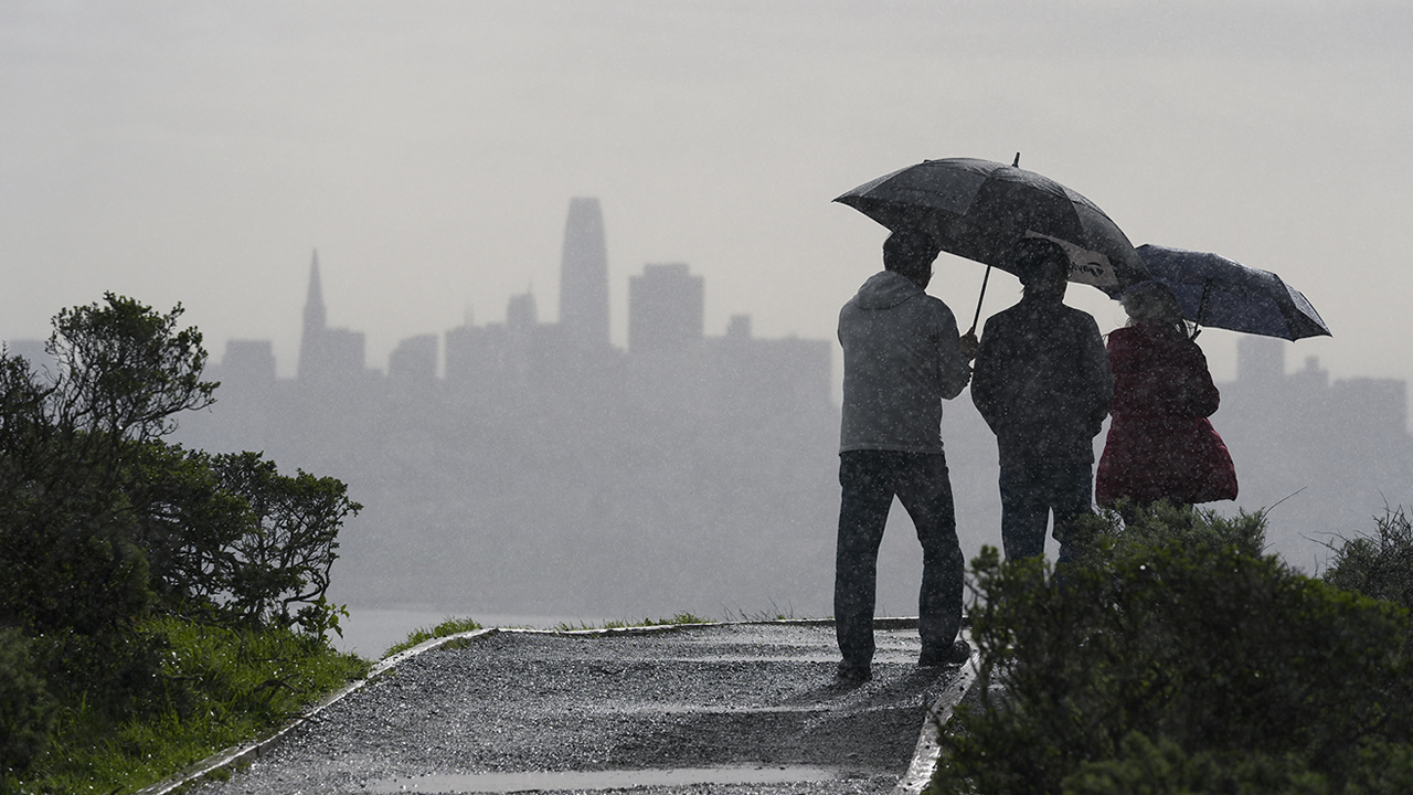
Rain is forecast to arrive Tuesday afternoon and evening, ending the region’s dry spell and ushering in several days of unsettled weather that could include gusty winds and possible thunderstorms. Showers are expected to become widespread Tuesday night and continue through early Thursday. The Central Coast and nearby coastal mountains, particularly the Santa Lucia Range, are likely to see the heaviest rainfall, with a 75% chance of receiving at least 1.5 inches.
Thunderstorms may develop from Tuesday afternoon into early Wednesday, bringing the potential for brief heavy downpours, strong winds, small hail, and lightning. Winds from the south to southeast are expected to increase during this period, with gusts reaching up to 40 mph in higher elevations along the Central Coast.
Rainfall amounts could be lighter in some interior valleys, including parts of San Jose, Livermore, and Salinas, due to rain shadow effects. Showers are expected to taper off by Thursday morning, followed by a short break before another chance of rain returns late Saturday into early next week.