
Much Needed Rain Returns to the Bay Area
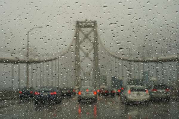
Rain returned to the Bay Area once again Tuesday as a cold front entered the region from the north early in the day and was expected to move south as the day progressed, according to the National Weather Service.
The system was expected to bring “light to occasionally moderate rain” first over the North Bay and along the coastal ranges at around sunrise before spreading inland and to the south during the afternoon and evening, forecasters said.
The storm is unlikely to drop heavy rain, the weather service said.
Rainfall totals from Tuesday into Wednesday are forecast to range from 0.75 of an inch to 1.25 inches in the North Bay mountains and along the coastal ranges, with higher levels around 1.5 inches in the favored wet spots of the North Bay, the weather service said.
Meanwhile, between 0.25 and 0.75 of an inch will be common across the North Bay valleys and along the coast from Santa Cruz northward.
Totals for the East Bay and South Bay are expected to range between 0.10 and 0.25 of an inch.
The system also will bring increased cloud cover and cooler temperatures, with daytime highs in the upper 50s to middle 60s through midweek, forecasters said.
Forecasters also warned of heavy snow and strong winds developing in the northern Sierra Nevada and southern Cascade Range, starting out at higher elevations Tuesday and lowering slightly on Wednesday.
Significant travel disruptions were likely across highway passes of the northern Sierra, forecasters said.
Winter weather advisories were to go into effect by late afternoon in the central Sierra above 7,000 feet (2,134 meters).
Forecasters said there was minimal concern about debris flows for burn areas around the Bay Area due to predicted rainfall rates in that region, but people living near burn areas were urged to be mindful of ash and other material washing off hillsides.